
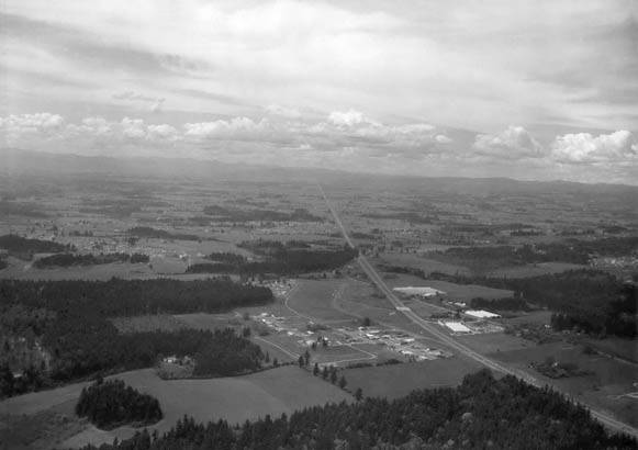
Aerial view of U.S. Highway 26, also known as Sunset Highway
Title
Aerial view of U.S. Highway 26, also known as Sunset Highway
Description
The view looks west towards Cedar Hills, at what will eventually connect to Highway 217. The Peterkort greenhouses are to the right.
Date Created
1948
Place
Identifier
BEApic_002
Rights
Online access to this image is for research and educational purposes only. To inquire about permissions, order a reproduction, or for more information, please contact the Beaverton Historical Society at info@historicbeaverton.org.
http://rightsstatements.org/vocab/CNE/1.0/
Source
City of Beaverton
Type
Still Image