Aerial view of Orenco
Title
Aerial view of Orenco
Description
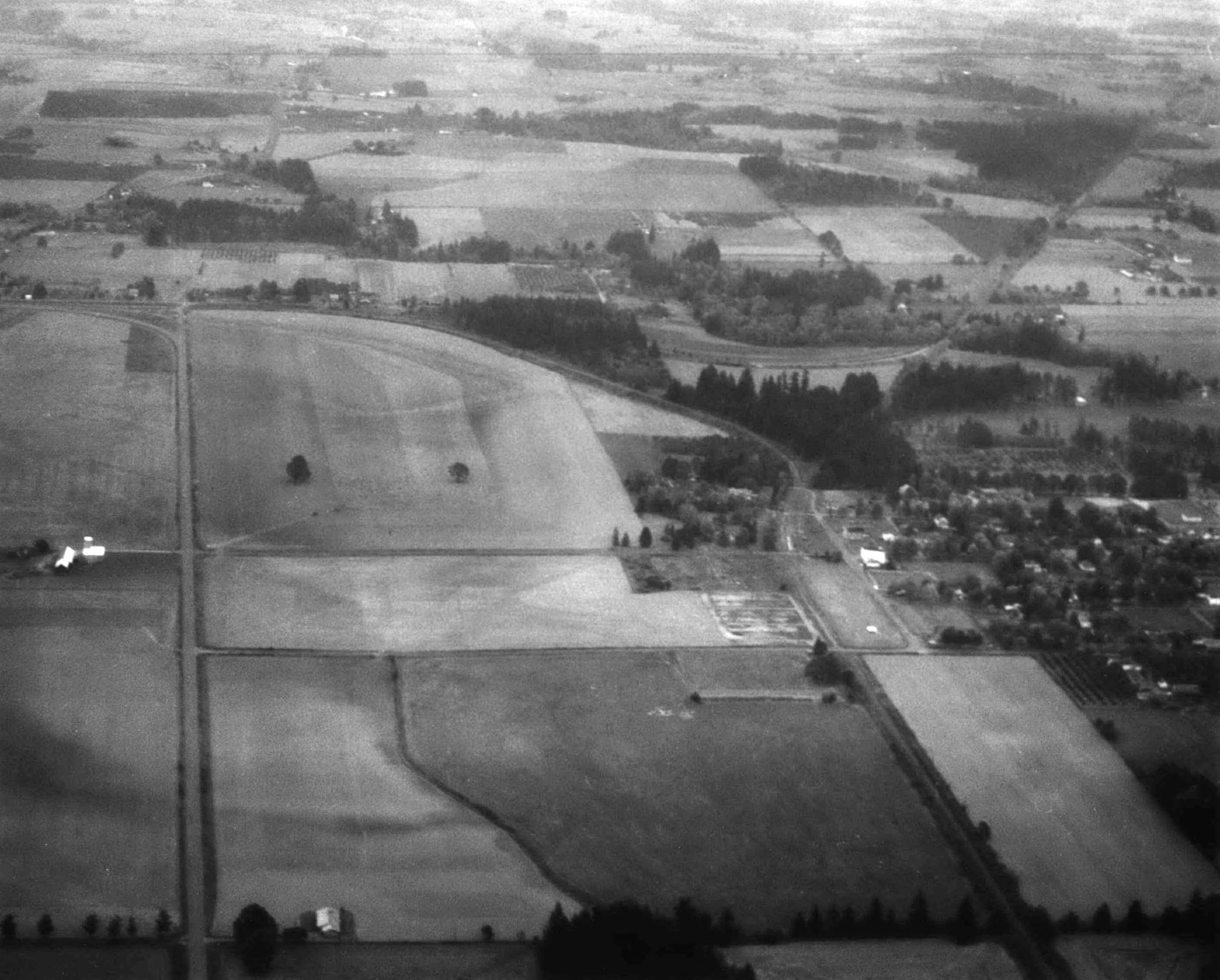
Looking east over Orenco. The small community is on the right. The train track comes from the bottom right of the photo. The tracks that go off to the upper right head east to Beaverton, while the ones that curve around to the upper left head to the tracks that paralleled Cornelius Pass Road, which no longer exist. The road on the left side of the photo is SW Cornell Road. The big curve from upper right to left side parallels present-day NE 173rd Ave.
Place
Identifier
BEApic_001
Rights
Online access to this image is for research and educational purposes only. To inquire about permissions, order a reproduction, or for more information, please contact the Beaverton Historical Society at info@historicbeaverton.org.
http://rightsstatements.org/vocab/CNE/1.0/
Source
Type
Still Image